01
Closest, with a compass
Pick what you need and get pointed at the nearest one: a needle, a distance and a walking estimate. A home-screen widget and app shortcut open straight into it, so it is one tap from a locked phone.
Public fountains and taps, mapped, so a long run does not have to end at a shop counter.
Running the same routes at home, you learn where the water is. Run somewhere new and that knowledge is gone: you are carrying a bottle you cannot fill, on a route you do not know, in a city where the fountains might be seasonal, hidden in a park, or simply not there.
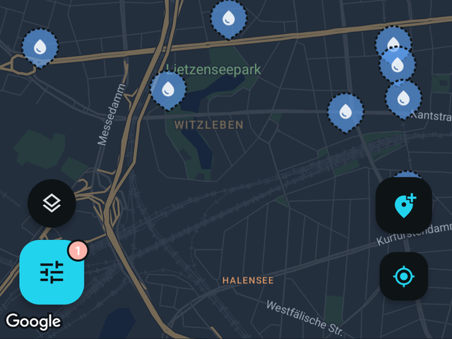
Fontavio maps public drinking water across Europe, US and Canada. Open it, see what is near you, and tap Closest to be pointed at the nearest one with a compass needle and a distance. No account, no signup, nothing to read first.
Fountains in much of Europe are switched off in winter and back on in spring. Where a place has known seasonal dates or opening hours, the app shows them, so a fountain that is closed until April says so instead of sending you across town.
Pick what you need and get pointed at the nearest one: a needle, a distance and a walking estimate. A home-screen widget and app shortcut open straight into it, so it is one tap from a locked phone.
Opening hours and seasonal dates are shown where they are known, checked live against your phone’s clock. A fountain that is off during winter says so.
Pick an area on the map and download it. The base map, the places and their details all come with it, opening hours and reviews included, so everything keeps working with no signal at all. Photos are the one thing left out, to keep the download small. Built for valleys, borders and prepaid data.
The whole map is usable without signing in. An account is only needed to contribute.
Search any city and the map jumps there. These pages show samples of the available data and statistics for cities.
More in the full FAQ.
Free, no account needed to browse. Finnish and English today.