01
PRO
Water along your route
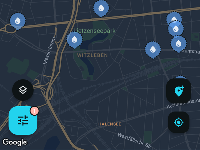
Pick the water stops and facilities you want along the way, then open the lot in Google Maps as one trip. For offline route planning, download also Google Maps from that area.
Two bottles is about two hours of riding. Fontavio shows where the next refill actually is.
Your range between refills is fixed by what you can carry, and on a hot day in unfamiliar country that number gets uncomfortable faster than anyone expects. Riders learn to plan around cemeteries and village fountains for a reason: on a bike, planning is essential.
Fontavio maps public drinking water and fill-up points across Europe, US and Canada, so a day can be planned around real refill points. Cemetery taps, village fountains, sports grounds and public buildings all end up on the same map when someone maps them.
The Pro route planner is built for this specific problem. Pick the refills you want along the way and open them as one trip. Planning a 120 km day with three known refills is a different ride from planning one with none.
Rural stretches are also where mobile coverage disappears, so offline maps run with no signal needed. Route planner opens the route in Google Maps, so downloading offline areas also from Google Maps is recommended if you intend to use route planner offline.
Pick the water stops and facilities you want along the way, then open the lot in Google Maps as one trip. For offline route planning, download also Google Maps from that area.
Pick an area on the map and download it. The base map, the places and their details all come with it, opening hours and reviews included, so everything keeps working with no signal at all. Photos are the one thing left out, to keep the download small. Built for valleys, borders and prepaid data.
Pick what you need and get pointed at the nearest one: a needle, a distance and a walking estimate. A home-screen widget and app shortcut open straight into it, so it is one tap from a locked phone.
Search any city or address and the map jumps there, so you can plan tomorrow tonight instead of working it out on arrival.
Search any city and the map jumps there. These pages show samples of the available data and statistics for cities.
More in the full FAQ.
Free, no account needed to browse. Finnish and English today.